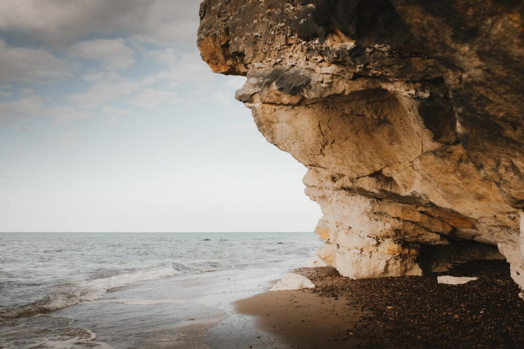
Denmark is a country with predominantly flat landscapes. But in the northwest of Jutland, things are a little different. Here you’ll find Bulbjerg, an impressive limestone cliff that rises no less than 47 metres high. A true eye-catcher in the flat surrounding landscape. Are you holidaying in North Jutland? Then be sure to visit this coastal spot to see a part of Denmark that’s just a little out of the ordinary.
How was Bulbjerg formed?
Bulbjerg was formed from limestone that was deposited around 65 million years ago during the Late Cretaceous period. At that time, the entire area was underwater and large amounts of calcium-rich remains from marine organisms and shells accumulated. Over millions of years, these layers were compressed into limestone. When sea levels began to fall, erosion took over. Wind, water and ice slowly wore away the rock, gradually steepening the cliff. The hard limestone is more resistant to erosion than the surrounding sand and clay. This is why Bulbjerg stands out so prominently along the Skagerrak coast; the part of the North Sea that lies between Denmark, Norway and Sweden.
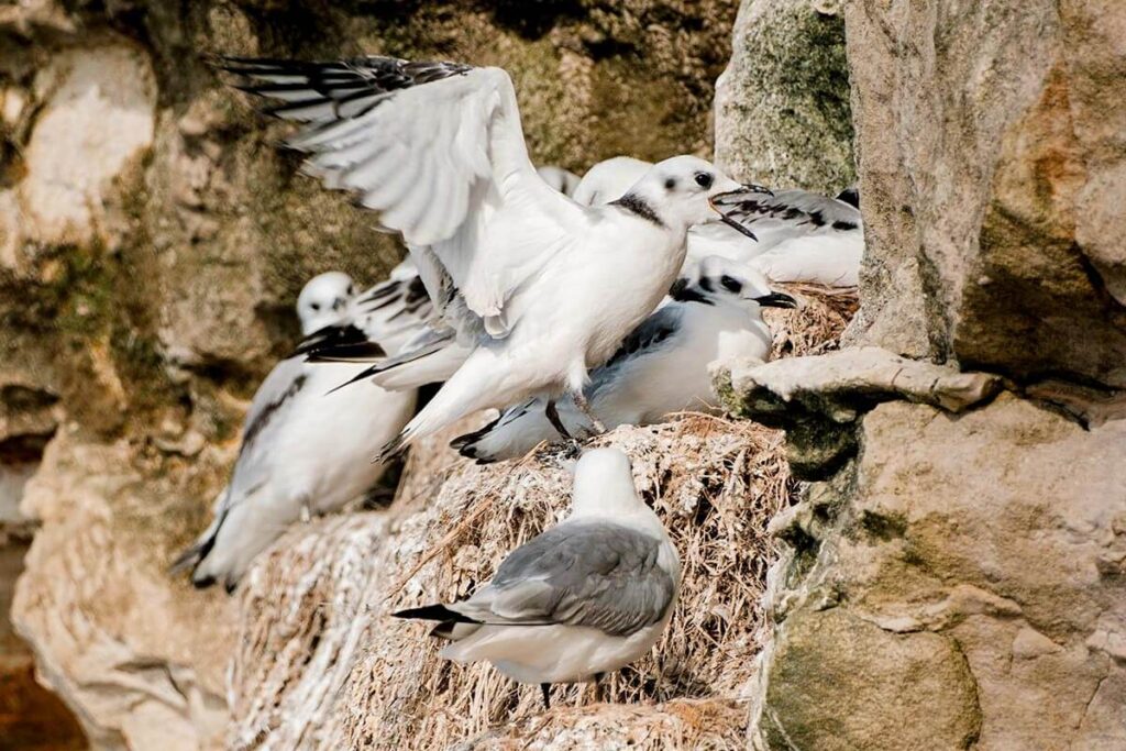
Only bird cliff in Denmark
For nesting seabirds, Bulbjerg is a true paradise. The impressive limestone cliff is not only the only bird cliff on mainland Denmark, but also one of the few places where hundreds of black-legged kittiwake pairs build their nests each year. Are you a bird lover? Then you won’t want to miss this unique spot; especially during the breeding season.
Skarrelit
Over millions of years, Bulbjerg used to be much more imposing than it is today. One piece of evidence for this was Skarrelit, a 16-metre high rock that stood in the surf. Skarrelit was once connected to Bulbjerg, but years of erosion wore away the limestone in between. During a powerful autumn storm in 1978, the rock was completely swept away by the waves. At low tide, the remains of the base of this iconic rock are still visible (see photo at the top of this article).
Bulbjerg in World War II
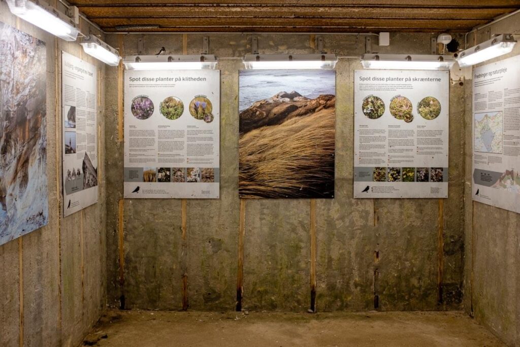
Bulbjerg also has a historical side. During World War II, the Danish coast was part of the Atlantic Wall. The Germans built a bunker into the rock, which they used as a listening and radar post for the gun positions in Hanstholm. The bunker, which is free to enter, contains information about the area’s geology, the birds that nest here and the function of the bunker during the war.
Walking tour around Bulbjerg
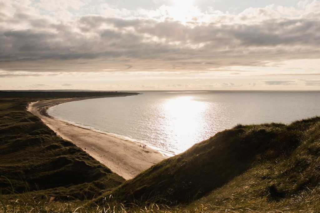
It’s easy to take a short walk around Bulbjerg, but for this, it needs to be low tide and (preferably) dry weather. We park the car in the parking lot and walk through the dunes to the left of the cliff, heading towards the sea. From this side, we can walk between the water and the cliff. Personally, I wouldn’t walk along the cliff to the other side if the water is close, especially if you have to walk under the cliff. Limestone erodes easily, especially if the weather has been (or is) rainy.
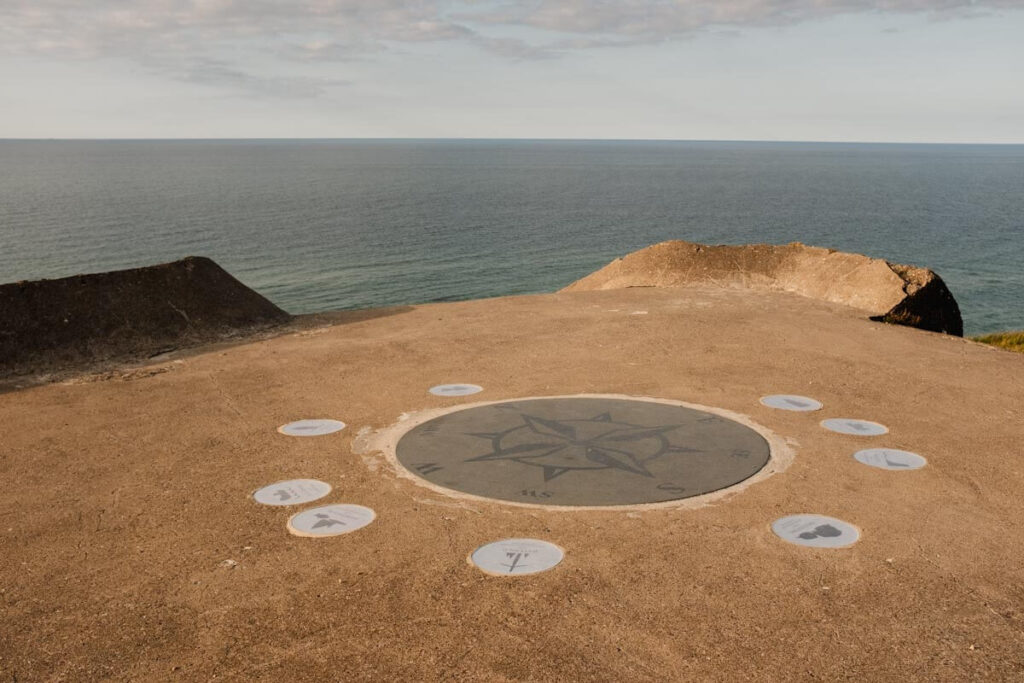
Visiting the bunker at Bulbjerg
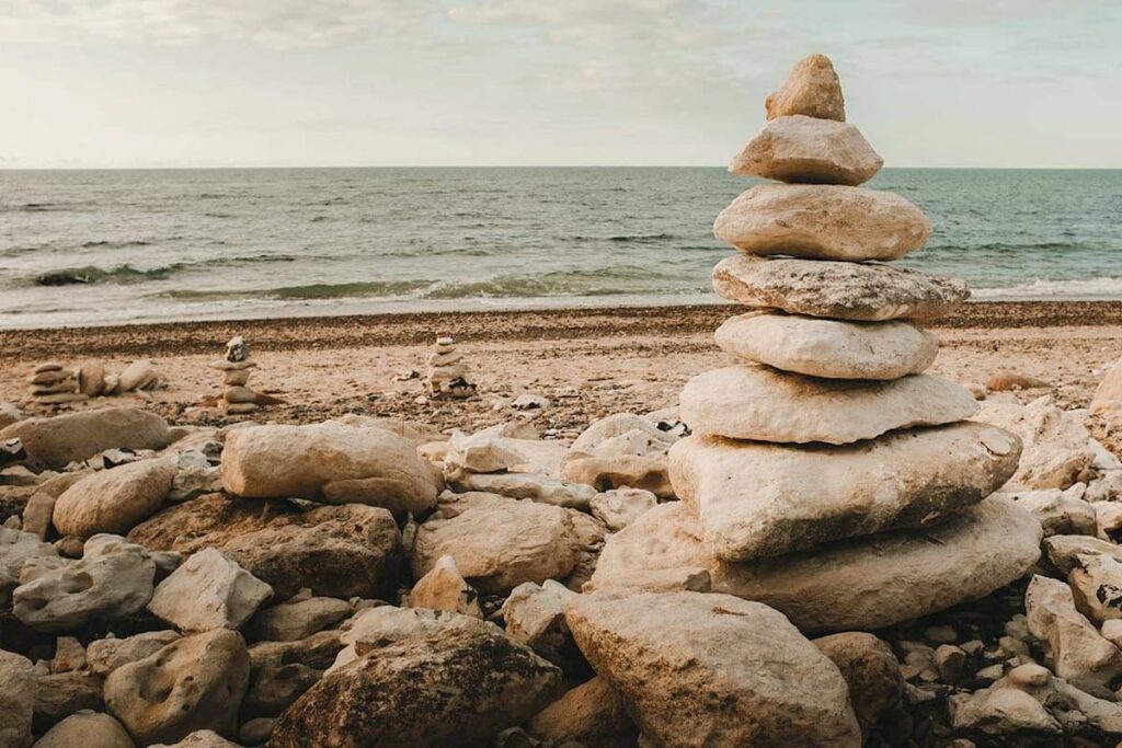
On the other side of Bulbjerg, we first stop to admire the many stone cairns. Then, we climb up to the bunker. From here, you really get a stunning view of the surrounding area. It’s especially beautiful at the end of the day, with the low sun. Don’t forget to take a look inside the bunker. The texts, drawings and photos provide a lot of background information. We then walk back to the car through the dunes.